DeKalb County is releasing updated flood hazard maps with open house
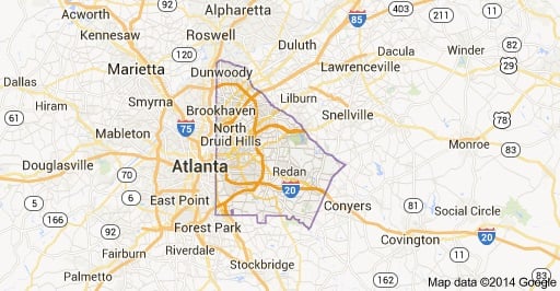 DeKalb County Georgia. Source: Google Maps.
[adsanity id=38652 align=aligncenter /]
DeKalb County Georgia. Source: Google Maps.
On Dec. 6, from 5 to 7 p.m. the DeKalb County Roads and Drainage Department is hosting an open house to release updated flood hazard maps to the community.
According to a recent press release, “the new maps reflect current flooding risks, replacing maps that are based on dated studies, of which some are more than 30 years old.”
[adsanity id=38361 align=aligncenter /]
Residents are encouraged to attend the open house because updated maps might have an impact on local homes and businesses in and around the Atlanta area. Maps are also available for the public viewing at www.georgiadfirm.com.
The open house will be hosted in the Maloof Auditorium, located at 1300 Commerce Drive in Decatur.
For more information about the map revisions, visit the DeKalb County Roads and Drainage Department website by clicking here.
[adsanity id=36480 align=aligncenter /]
[adsanity id=33719 align=aligncenter /]